100 Miles Of Trails And Access To The Chattahoochee? Groups Want Input From The Public
A $1.5 million study of the Chattahoochee, from Buford Dam at Lake Lanier to Chattahoochee Bend State Park in Newnan, has been commissioned. The study should be finished next year, and the idea is that it will lay out all the things that could be built along the river.
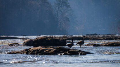
Thomson200 / wikimedia commons
The Chattahoochee River flows through metro Atlanta, but the city isn’t exactly built around the river. Atlanta is no Chicago. Still the river has always been important to the area. Native Americans lived along it and traveled on it. Millions of people depend on it for drinking water and for getting rid of wastewater.
Still, aside from the Chattahoochee River National Recreation Area, there aren’t a ton of places to get to the river itself. Now, there’s a study going on to see how to make the Chattahoochee more accessible along 100 miles of its path through metro Atlanta.
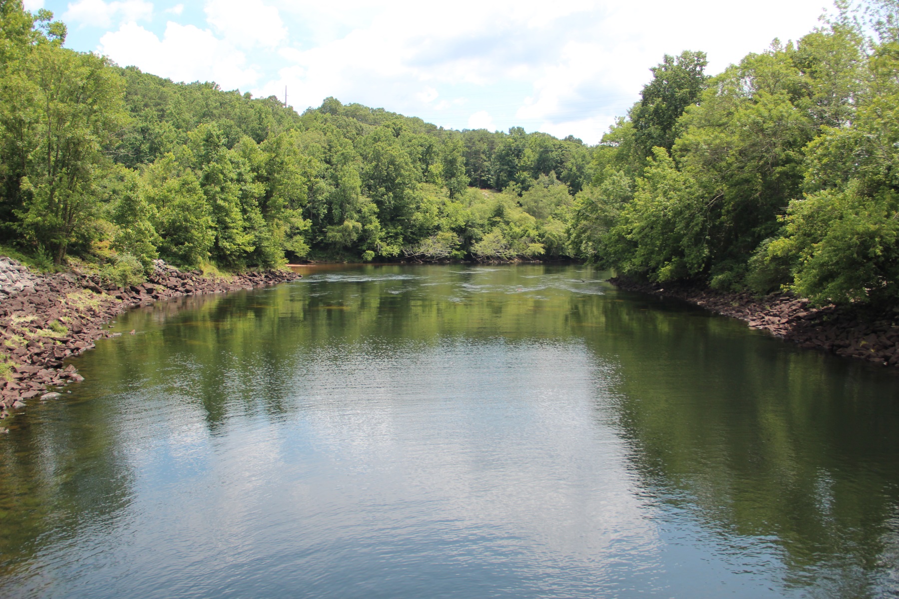
Mableton Parkway crosses the Chattahoochee River near Charlie Brown Field. Lots of people drive over the river in that spot, but there’s not much of a place to get out and see it.
Away from the cars and down near the water, it’s green and shady. Byron Rushing, the bicycling and walking program manager at the Atlanta Regional Commission, points out a muskrat.
“The river has been very central to the city and its history and heritage for a long time, but people have not always been able to come to the river and see it and experience it,” he says.
The Atlanta Regional Commission, along with the nonprofit Trust for Public Land, Cobb County and the city of Atlanta, commissioned a $1.5 million study of the Chattahoochee, from Buford Dam at Lake Lanier to Chattahoochee Bend State Park in Newnan. The study should be finished next year, and the idea is that it will lay out all the things that could be built along the river.
“I think the vision is a connected greenway trail,” says Walt Ray, Chattahoochee program director with the Trust for Public Land. He says there could be a water trail, too, with boat launches and campsites.
“I think we can imagine parks, habitat restoration. And I think we can also imagine moments like sculptures and playgrounds,” he says.
Ray says there could be places where coffee shops or restaurants would make sense. With 100 miles to work with, he says, some places might be like the BeltLine, others would be quiet and natural.
The spot where Ray and Rushing are is owned by Cobb County. There’s an old, overgrown road cleared along the Chattahoochee. This will be a pilot site for the Chattahoochee Riverlands study, to test out possibilities for the bigger idea.
This project comes at a time when the city of Atlanta is rethinking its relationship to nature with an urban ecology study. And the region as a whole is re-engaging with its creeks and rivers, with the Proctor Creek Greenway in Atlanta; the Finding the Flint project around Hartsfield-Jackson Atlanta International Airport; and ideas for a large park along the South River in South DeKalb.
It also comes at a time when the Chattahoochee River is clean enough that people actually want to spend time on it.
“Adding parks and access points downstream of the city of Atlanta 20 years ago would not have been possible,” says Jason Ulseth with Chattahoochee Riverkeeper.
The environmental organization was instrumental in getting the river cleaned up. It sued the city of Atlanta in the 1990s over untreated wastewater being discharged in the Chattahoochee. Now, Chattahoochee Riverkeeper is involved in the study and has taken the study team out on the river to show them around.
“I think it’s great that we’re starting to look at this entire stretch in the Chattahoochee River from Buford Dam down to Chattahoochee Bend State Park more as a single river,” he says.
Right now, the trails and the parks and the coffee shops are all a ways off; the study is ongoing. But they are collecting comments from the public in two places this weekend, in Johns Creek and Atlanta.


Top Stories