PATH400 Trail Could Stretch From Buckhead To Sandy Springs
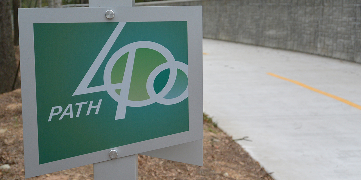
A section of the PATH400 trail opened in January 2015.
AL SUCH / WABE
The Sandy Springs City Council will consider tonight whether it wants the city to connect to PATH400 – a trail under construction in Buckhead.
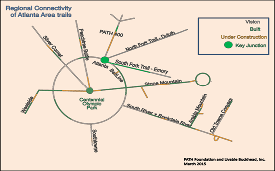
Right now, the planned trail is 5.2 miles long – from the Lindbergh neighborhood to the former site of the Georgia State Route 400 toll plaza.
If the council approves, the trail would continue two miles farther – to the Glenridge Connector.
For north metro Atlanta, this could mean access to regional trails like the BeltLine or the Silver Comet Trail, said Denise Starling. She’s executive director of Livable Buckhead, one of the groups behind PATH400.
“If you’re in Dunwoody and Sandy Springs and on up, you’ll be able to bike to Alabama without ever getting on a road, so it’s a big network that’s coming together and this is a critical piece.”
The majority of financial support for the Sandy Springs extension would come from federal grants matched by Livable Buckhead funding.
Right now about a third of the current five-mile plan is completed or in the works, Starling said.


Top Stories