Tools To Help You Track Tropical Storm Irma And Its Damage

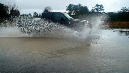
Pam trees stand ripped of their fronds in the aftermath of Hurricane Irma in Marco Island, Fla., Monday, Sept. 11, 2017. (AP Photo/David Goldman)
David Goldman / Associated Press
Today Tropical Storm Irma is headed toward metro Atlanta, and it will be grazing through parts of Alabama, Mississippi and Tennessee during Tuesday and part of Wednesday.
Many metro Atlanta public schools have closed for Monday and have announced closing on Tuesday.
Use the tools below to help you track Irma as it makes its way through the Southeast.
Emergency Alerts In Atlanta
Get notified of severe weather alerts through this link. NotifyAtl is putting out emergency alerts as the storm draws near. However, you must create an account to receive these alerts.
Map Of Power Outages In Georgia
At least 300,000 Georgians have already experienced power outages due to Irma, according to Georgia Power. Follow this link to keep up with power outages in your area.
Map Of Weather Advisories And Warnings
On Sunday, the National Weather Service in Peachtree City issued metro Atlanta’s first-ever tropical storm warning. This interactive map, published by Google Crisis Response, allows you to zoom in and click on your city to see if it is under a warning, watch or advisory for inclement weather due to Irma.
Tracking Irma’s Path
Irma is traveling through North Florida and has its sights on metro Atlanta. Stay up to date with the storm’s current and projected location by using this map.
9(MDAxODM0MDY4MDEyMTY4NDA3MzI3YjkzMw004))


Top Stories