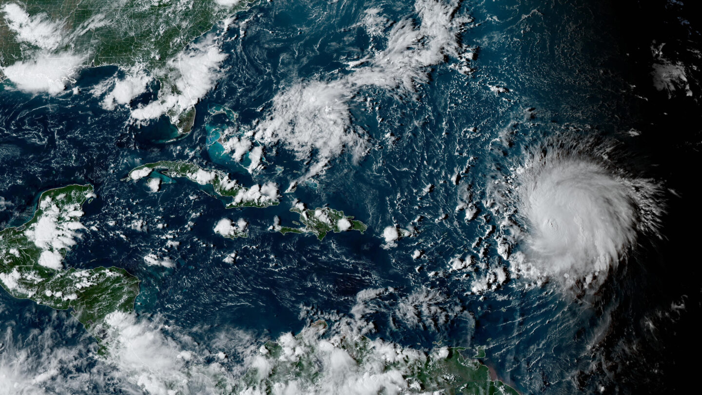
Hurricane Lee is rewriting old rules of meteorology, leaving experts astonished at how rapidly it grew into a goliath Category 5 hurricane.
Lee — which just as quickly dropped to a still-dangerous Category 3 and held that strength Saturday — could still be a harbinger as ocean temperatures climb, spawning fast-growing major hurricanes that could threaten communities farther north and inland, experts say.
“Hurricanes are getting stronger at higher latitudes,” said Marshall Shepherd, director of the University of Georgia’s atmospheric sciences program and a past president of the American Meteorological Society. “If that trend continues, that brings into play places like Washington, D.C., New York and Boston.”HYPERINTENSIFICATION
Read this story now for free
To continue reading, sign up for our newsletter and get unlimited access to WABE.org
You can select your preferences for news and local content. We will never share your email address. Learn how your newsletter sign-up will support WABE and Public Media