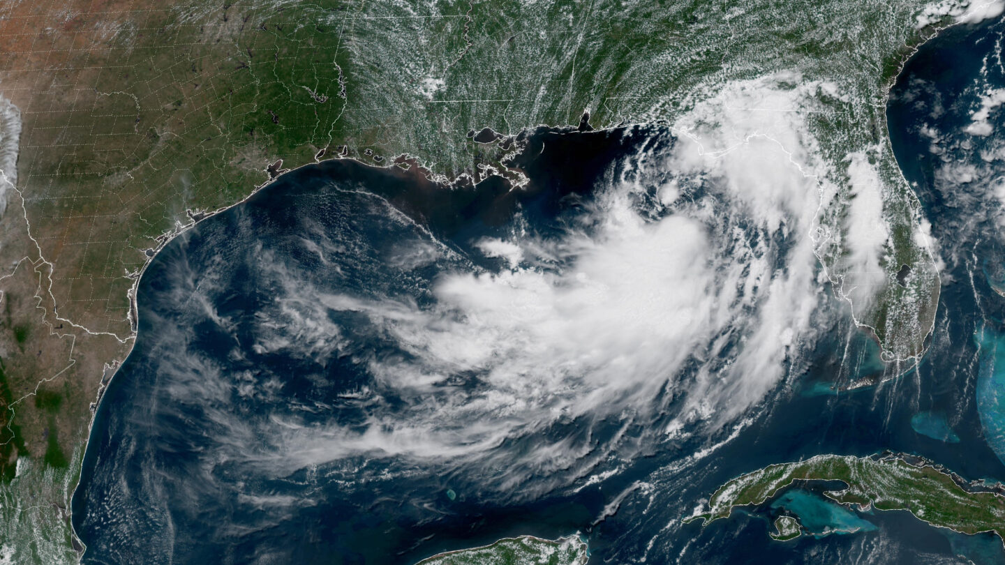
A tropical depression drifting erratically in the northern Gulf of Mexico is expected to strengthen later Monday with rain that could trigger flooding and winds capable of downing trees and power lines in several states this week.
The depression was centered about 110 miles (180 kilometers) south of Panama City, Florida, with sustained winds of 35 mph (55 kph). It was poised to gradually strengthen and reach tropical storm status later in the day, the U.S. National Hurricane Center said.
The Miami-based center said the system was roughly moving toward the northwest near 3 mph (6 kph) and is expected to move near or along the northern Gulf Coast over the next several days, prompting a storm surge watch extending from the mouth of the Mississippi River to the Alabama-Florida border on the Gulf Coast.
A tropical storm watch also was posted from the Ochlockonee River in Florida westward to southeastern Louisiana at the Jefferson and Plaquemines parish line.
The National Weather Service office in New Orleans said storm conditions may set in from the Florida Panhandle westward into Louisiana by Tuesday. It warned of wind gusts of 40 mph (60 kph) and noted a possible “life threatening” storm surge watch for the Alabama, Mississippi and southeastern Louisiana coasts.