Flood watch extended across metro Atlanta as storms roll in

Stormwater flows down Holly Street in Home Park in Atlanta, Georgia, on Wednesday, Feb. 12, 2025. (Patrick Saunders/WABE)

This story was updated on Wednesday, Feb. 12 at 10:46 a.m.

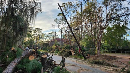
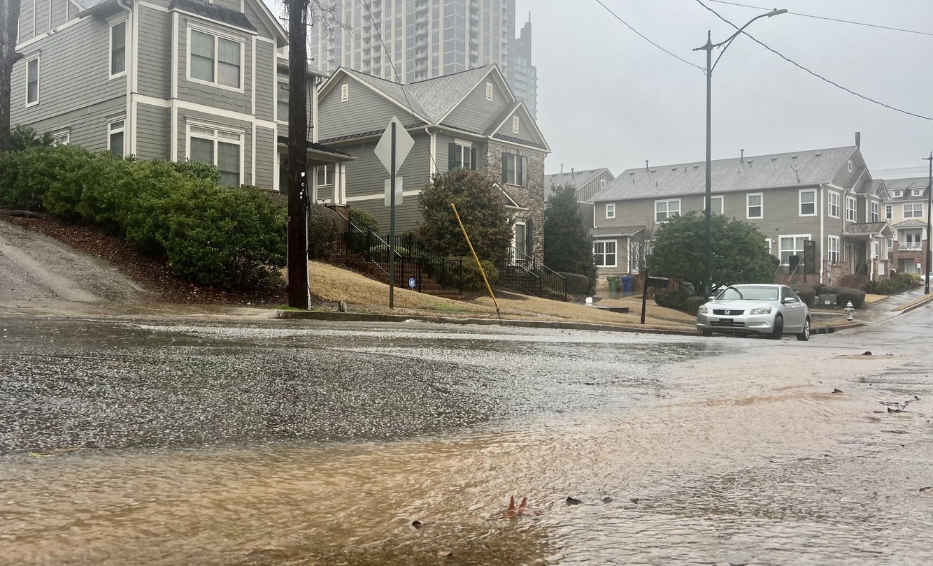
A flood watch issued on Tuesday was extended southward to cover all of metro Atlanta with potentially severe weather rolling in that could include large hail, damaging wind gusts up to 60 mph and brief tornadoes.

The initial flood watch issued by the National Weather Service (NWS) covered the north metro Atlanta suburbs and North Georgia.


The latest watch is in effect for Banks, Barrow, Bartow, Carroll, Catoosa, Chattooga, Cherokee, Clayton, Cobb, Coweta, Dade, Dawson, DeKalb, Douglas, Fannin, Fayette, Floyd, Forsyth, Fulton, Gilmer, Gordon, Gwinnett, Hall, Haralson, Heard, Henry, Jackson, Lumpkin, Meriwether, Murray, Newton, Paulding, Pickens, Pike, Polk, Rockdale, Spalding, Towns, Troup, Union, Walker, Walton, White and Whitfield Counties.

The watch is in effect through Thursday morning.

The highest risk for severe weather is between 7 p.m. Wednesday and 7 a.m. Thursday, according to NWS.

About 2-4 inches of rainfall is most likely in the flood watch area, with isolated areas receiving up to 6 inches. Numerous rivers and creeks are expected to flood, which may impact surrounding roads.

Drivers are encouraged to pay attention to any closed roads and to avoid driving in the proximity of barricades. Residents in the affected areas are advised to monitor the latest forecasts and be alert for possible flood warnings, according to NWS.

The flood watch is just one of several severe extreme weather events in North Georgia and metro Atlanta this year. Heavy snow fell in back-to-back weeks in January.

WABE’s Meimei Xu contributed to this report.