Scientists Hope To Learn From Rising Tides On Georgia Coast
Courtesy of Tybee Island Police Department
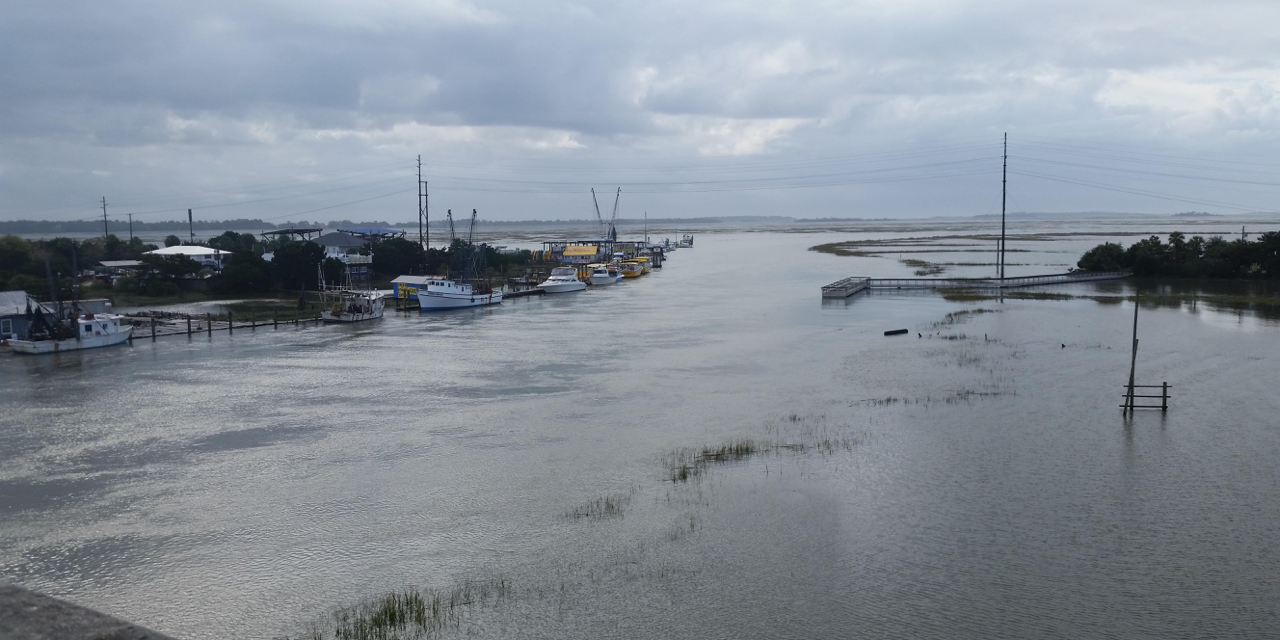
One of the highest tides of the year, called a king tide, caused flooding on the Georgia coast this week. Volunteers are collecting data about it, to be better prepared next time.
The only higher tides ever recorded at the tidal gauge at Fort Pulaski near Savannah were during hurricanes. The bridge connecting Tybee Island to the mainland was submerged, and homes and streets on the island were flooded.
Scientists knew it was going to be a really high tide, but wind pushed it even higher than predicted, said Mark Risse, director of University of Georgia’s Marine Extension.
“The tides ended up being about a foot and a half or so higher than what had been projected,” he said.
To help improve projections for next time, trained volunteers fanned out with smartphones to collect information about this week’s high tides. This was the first big pilot test of the smartphone app. Risse said the data collected in the app can be used to test and refine models and help communities be better prepared next time. Eventually, citizen scientists will be invited to help out with their phones, too.
This becomes more important as the sea level continues to rise. Risse said the bridge to Tybee has flooded before, but in the future, it will happen a lot more often.
“It’s going to reach the point where they have to elevate the road,” he said. “By 2050, we think that the road will be closed on most high tides. It won’t even take a king tide to close it unless they can do something to get the road elevated.”
Sea level isn’t going up uniformly all over the world, explained Risse. Because of the shape of the coast, it’s actually rising more here than in other places.
“Spots like us and Charleston are actually seeing more extreme high tides than some of the other locations,” he said. “I would say next year is probably going to be a little bit worse than this year if those trends continue.”
9(MDAxODM0MDY4MDEyMTY4NDA3MzI3YjkzMw004))


Top Stories