Georgia State researchers’ mapping project connects enslaved people to specific enslavers in Harris County

Elizabeth J. West, a professor of English and co-director of Georgia State University’s Center for Studies on Africa and Its Diaspora, and her research partners, Dr. Joshua Jackson and John Washington discuss a mapping project that could be used to reveal the locations of where more than 5,000 enslaved persons lived in Harris County, Georgia. (LaShawn Hudson/WABE)

Updated on Feb. 20, 2025, at 2:02 p.m.

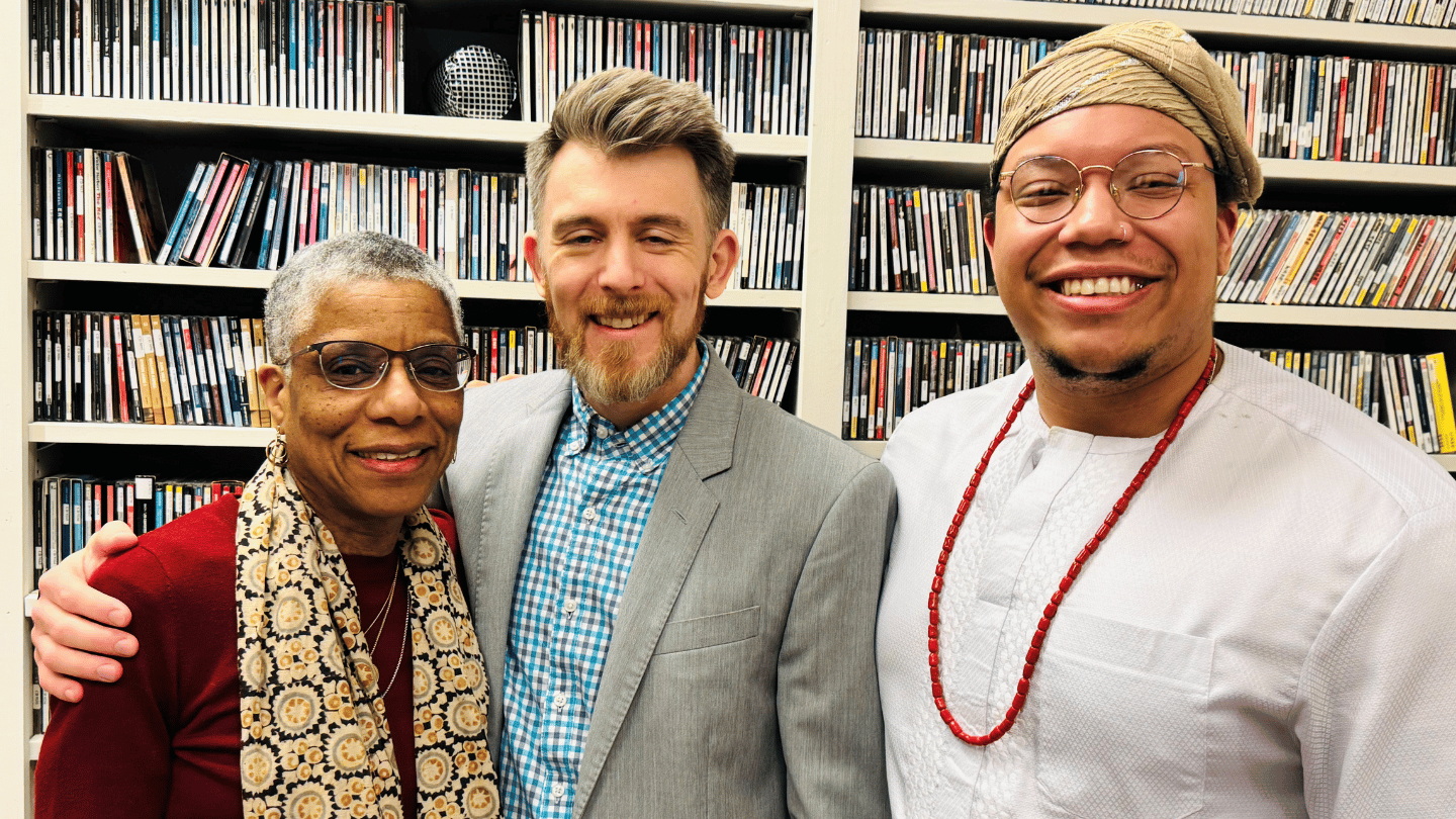
A team of Georgia State University researchers have been working together to uncover the names and locations of where more than 5,000 enslaved persons and their enslavers lived in Harris County, Georgia, before the Civil War.

It’s all for a pilot project called the Data Mining and Mapping Antebellum Georgia. The project was led by Elizabeth J. West, a professor of English and co-director of Georgia State University’s Center for Studies on Africa and Its Diaspora.


On Thursday’s edition of “Closer Look,” West and her research partners, co-investigator Dr. Joshua Jackson and former student John Washington, talked with show host Rose Scott about their process of reviewing slave schedules, estate records and land deed records to better understand how land in Harris County was detailed and distributed.

GSU researchers collaborated with Troy University researchers on the project, which is expected to be completed sometime this year. Right now, researchers are working to create an online database and map that will allow users to better understand where enslaved African Americans and their families lived before emancipation.

Correction: A previous version of this story incorrectly referred to Hall County rather than Harris County.