Fort Pulaski is a brick hulk. The fort, surrounded by a moat on an island near the mouth of the Savannah River, was built before the Civil War. It was seized and used by the Confederate Army until federal forces took it back in 1862.
Now, it’s a national monument.
“I call these forts our American castles,” said Joel Cadoff, chief of interpretation at Fort Pulaski National Monument. “When you approach the fort’s walls, they’re just magnificent.”
As we walk around the outside of the fort, the 30-foot walls tower over us, intimidating. But we come around a corner and see gashes in those walls, where cannon balls hit.
When Pulaski was built, in the 1840s, it was supposed to be invincible.
“This fort was state-of-the-art at one point,” he said. “Now, by the 1860s, certainly weaponry was going to catch up to it.”
Now, 150 years later, nature is catching up to Fort Pulaski.
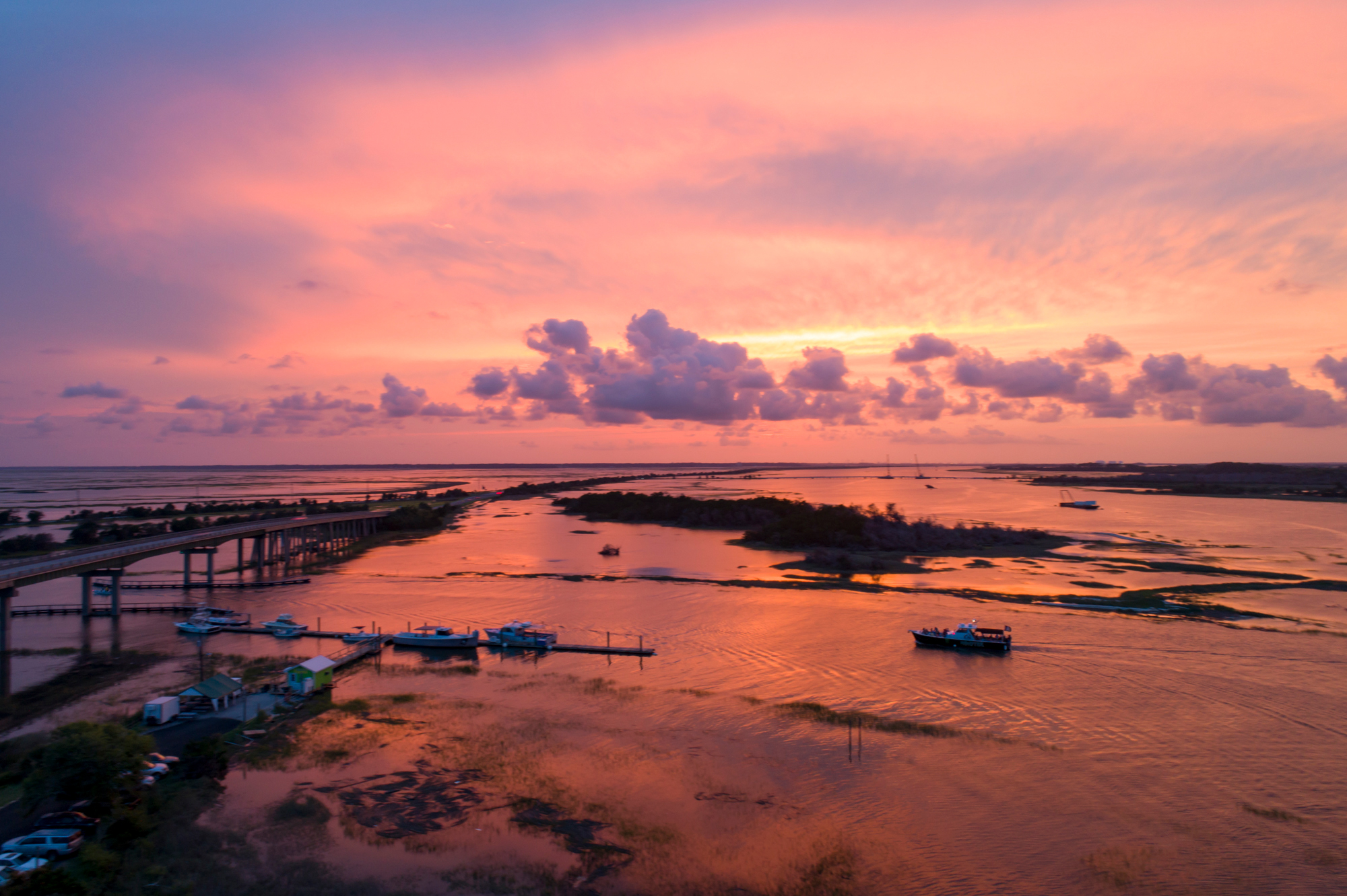
Tides are inching higher and higher. The sea level has been rising at a rate of about a foot a century at Fort Pulaski, and it may speed up.
Sea level rise threatens not just the fort, but historic and cultural sites up and down the Atlantic Coast. Native American history, the places where slaves lived and worked, historic neighborhoods, cemeteries and sites of battles are all at risk.
Series Of Closures
Fort Pulaski has had a rough couple years.
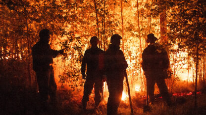
There was Hurricane Matthew in 2016, which flooded the fort. A tornado hit the visitors’ center in May 2017, closing it for months. Then, in September of 2017, there was Hurricane Irma, and another flood in the fort. Top it all off with a few days of snow and ice in January 2018, and Cadoff said, adding it all up, Fort Pulaski’s been closed more than three months in the past couple years.
Fort Pulaski is still pulling itself back together, even as the threat from sea level rise looms.
“It’s happening, and, you know, I’m not sure that we’re, in the long view of time, we’re not going to be able to stop that,” Cadoff said.
If water levels come up by another 3 feet by 2100, which is on the conservative end of current projections, most of Cockspur Island, where Fort Pulaski is, would be underwater. Cadoff said they’re trying to prepare, thinking about ways to protect the fort from sea level rise.
“It’s a real hard juggling act because we were so affected by these storms and because we’re still trying to get onto our feet and just functioning as a regular park,” he said. “To have the added burden of preparing for that future? It’s hard.”
Thousands Of Years Of History
A report from the National Park Service from earlier this year says that about a quarter of its parks are on coasts. It’s not just the national parks at risk in the Southeast, though. Sea level rise threatens thousands of years of human history on the coast.
I meet Rick Kanaski, regional archaeologist for the U.S. Fish and Wildlife Service in the Southeast, on the other side of the Savannah River, at the Savannah National Wildlife Refuge in South Carolina.
The refuge used to be a plantation. Kanaski drives along dikes between old rice fields, which, now filled with water, are a haven for migrating birds. But this was once a place where slaves worked under horrible conditions – hot, buggy, rife with disease.
“This was a hard place,” Kanaski says.
And it’s at risk. We see a well – the water supply for the slaves. In the distance, we see islands where the plantation and the slave quarters were.
Kanaski says this area is affected not just by sea level rise, but also by the Savannah Harbor deepening, which sucks more salt water farther upstream. He’s concerned not just about structures that are threatened by flooding and erosion, but about the land around them, which Kanaski says is, itself, part of the history here.
“Things like this may eventually just disappear along the coastline,” he says.
Farther up the coast on Pinckney Island, near Hilton Head, we bushwhack through dense coastal woods until we come to the shoreline, where the land gives way to mud.
Here we see evidence of pre-European history: A long mound of oyster shells left by Native Americans. Shell middens like this one are important to archaeologists because they show both where — and how — people lived.
This one, Kanaski said, dates to around 1500 B.C.
“You can see the large roots that are being exposed,” he says.
It’s eroding.
“They’re exposed because the soil and part of the midden that held them in place is all now down there,” he says, gesturing to the mud.
The water level is just creeping up a bit every year, but it’s relentless. Waves crash higher; storms push the ocean up farther; wake from boats cuts into the banks more. The land gives way. The trees that hold the soil together die. The 3,000-year-old Native American shell midden wears away.
“Things like this is what’s going to be really impacted by sea level rise,” Kanaski says.
There’s another thing Kanaski wants to show me while we’re on Pinckney Island, but it takes a while to find it. There are tons of trees down here, knocked over by the hurricanes, and the area is a wild tangle of branches and leaves and undergrowth.
We crash around in the still heat, and Kanaski is on the verge of giving up when he realizes we’re right next to what he was trying to find: a small cemetery.
There are a handful of veterans’ markers at the graves of people who served in the U.S. Colored Infantry in the Civil War. There’s no sign or church, or fence around the graves; they’re nearly invisible in the woods. They’re not forgotten, though. Someone has recently put small American flags by the headstones of the African-American Union soldiers.
Kanaski crouches down to read one. It’s the veteran’s marker for Lean Brown, Company C, 21st US Colored Infantry.
In the long run, Kanaski says, this small cemetery is at risk of being sucked out to sea, too.
Nature Of Barrier Islands
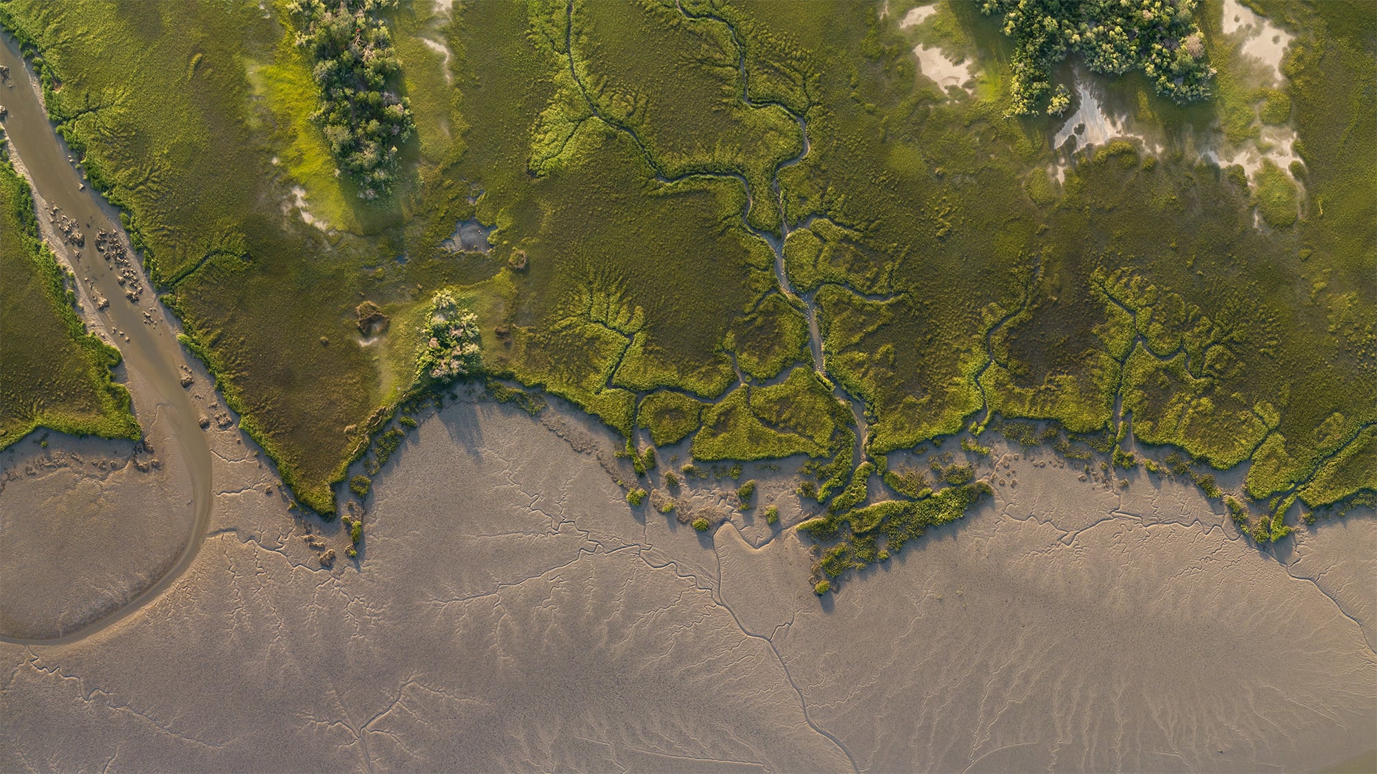
The coastal barrier islands are always shifting. That’s just part of what they do: they rise and fall, their dunes move, they adjust to the tides.
And the sea level has gone up and down in the past.
That’s something that University of Georgia professor Victor Thompson is interested in. He studies archaeology on Georgia’s Ossabaw Island, especially how Native Americans responded to rising sea levels in the past.
The places he studies there are eroding, too. It’s for a mix of reasons: surges from storms, the wake from boats, and also sea level rise.
“On a good high tide and if we’ve had a lot of boat traffic at the next low tide, you can basically walk the beach, and the artifacts are strewn everywhere,” he said.
He said when he thinks about his work, sorry for the pun, but he’s just trying to keep his head above water.
“I’m one person; that’s just one site,” he said. “So multiply this over the entire Georgia coastline with thousands of archaeological sites and you could just sort of envision the magnitude of what’s occurring in terms of erosion and site loss.”
It’s not just sites from humanity’s past that are at risk.
Emory geologist Anthony Martin is losing places he studies on the Georgia coast, too, like a Pleistocene site on St. Catherines Island, where he researches the plants and insects that lived there 20,000 years ago, a time when mammoths and giant sloths roamed Georgia.
That site is eroding, too. There are some places he’s studied there, he said, that are now underwater.
“It is a loss to science,” Martin said.
It’s also just part of the deal for people who study barrier islands, since they shift and erode all the time. But now, with sea level rise, he said, the research feels more pressing.
“Scientists like me, we were studying our respective fields, and we were tinkering along with those, and we were doing them out of an intellectual interest,” he said. “We’re now starting to see this urgent need to start applying our science to climate change as a problem.”
Still Fighting
At Fort Pulaski, Joel Cadoff told me during the hurricanes, there was so much water, the bridges across the moat floated away. Cadoff said they weigh hundreds of pounds and had to be dragged back with tractors.
“Funny thing about the bridge, this one during Hurricane Matthew. We couldn’t find it,” he said. “People were looking we couldn’t find it. And then one day, one of our staff members was looking at Google Earth and found it.”
It was about a quarter mile away. Cadoff says it took so long to find the thing, they just rebuilt it.
“When we think about this fort being here potentially in 100 years, I mean, it is still fighting a battle,” he said. “Not necessarily a battle with artillery, but, you know, a battle still with humans and nature because talking about sea level rise, this fort is still under attack.”
He said, in 100 years, he hopes people will still be able to come to Fort Pulaski. And the fort will still be here. But the visitors might have to be in boats.