Scientists say mine plan claiming no Okefenokee Swamp harm has errors

Scientists for the federal government say documents that Georgia state regulators relied upon to conclude a proposed mine won’t harm the nearby Okefenokee Swamp and its vast wildlife refuge contain technical errors and “critical shortcomings” that render them unreliable.
Since 2019, Twin Pine Minerals has been seeking permits to mine titanium less than 3 miles (4.8 kilometers) from the Okefenokee National Wildlife Refuge, the largest refuge east of the Mississippi River. Scientists have warned that mining near the swamp’s bowl-like rim could irreparably harm the swamp’s ability to hold water and increasing the frequency of withering droughts.
The Georgia Environmental Protection Division moved the project a big step forward in January by releasing a draft plan for how Twin Pines would conduct mining operations and mitigate any environmental damage. The agency said its own analysis “concluded that water level in the swamp will be minimally impacted.”
In response, hydrologists for the National Park Service reviewed computer modeling results that Twin Pines had submitted to state regulators with its mining application. In a 28-page analysis sent to regulators last week, the scientists said several flaws cast doubt on regulators’ conclusions.
“Our analysis revealed a series of critical shortcomings in the modeling used for prediction of impacts” to the Okefenokee refuge, Park Service hydrologists Kiren Bahm and Rajendra Paudel wrote.
The scientists said Twin Pines consultants failed to look at the combined impact on the Okefenokee of groundwater gushing into mining pits, the pumping of additional water from an aquifer and disruption in soil layers at the swamp’s edge. Instead, they wrote, those factors were measured separately.
The hydrologists also said computer models didn’t account for seasonal and year-to-year variations in the Okefenokee’s water levels, overlooking potential effects that diverting water from the swamp could have during dry periods when it’s vulnerable to drought.
Other problems cited by the scientists included mathematical errors in five data tables in Twin Pines’ report.
The U.S. Fish and Wildlife Service, which manages the Okefenokee refuge, said in a March 17 letter to Georgia regulators that because the problems are so significant, the agency will make a renewed push for federal oversight of the proposed mine.
The Army Corps of Engineers relinquished any permitting authority over the Twin Pines project following a rollback of environmental regulations under President Donald Trump. The Fish and Wildlife Service asked Georgia regulators to postpone further decisions on the mine until the Army Corps decides whether to reassert jurisdiction.
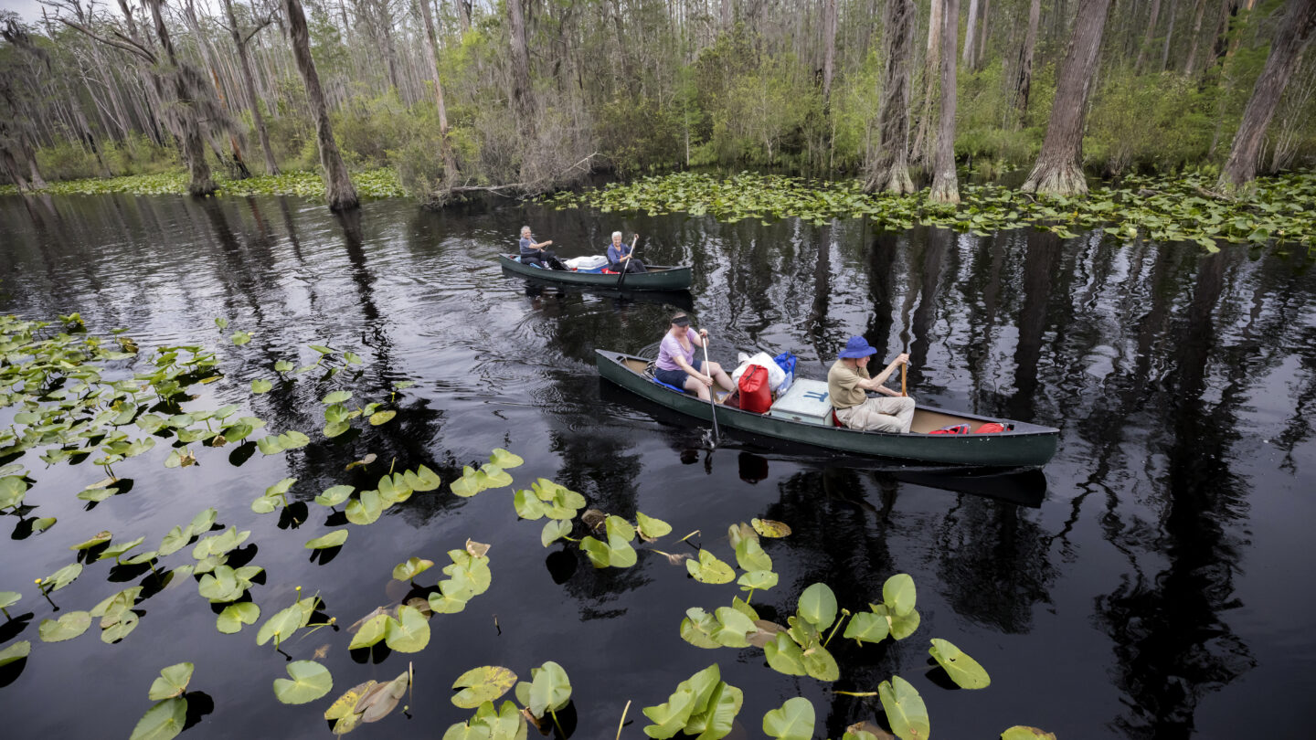
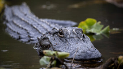
The Okefenokee National Wildlife Refuge covers nearly 630 square miles (1,630 square kilometers) in southeast Georgia and is home to alligators, bald eagles and other protected species. The swamp’s wildlife, cypress forests and flooded prairies draw roughly 600,000 visitors each year, according to the Fish and Wildlife Service.
The Georgia Environmental Protection Division is working on a final mining plan for Twin Pines after a 60-day comment period on the project ended Monday. The mining plan must be finished for the agency to start drafting permits.
The division received more than 77,400 comments from concerned citizens, local officials, government agencies, conservation groups and others, said spokeswoman Sara Lips, in addition to more than 26,800 comments sent previously.
“EPD will not be responding to inquiries on technical questions until after staff has had a chance to evaluate all technical comments received,” Lips said in an email Thursday.
Steve Ingle, president of Twin Pines, has insisted his company can mine safely on 773 acres (312 hectares) outside the swamp without harming it. He said his company will send regulators a response to the federal agencies’ critiques.
“With regard to specific issues, it is clear that some comments are based on incorrect or incomplete information, but in other cases we simply disagree and will explain why,” Ingle said in a statement.
The federal scientists aren’t the only ones to say Twin Pines and Georgia regulators used faulty methods to consider potential environmental impacts to the swamp.
C. Rhett Jackson, a University of Georgia hydrologist, sent a letter to the Environmental Protection Division signed by 11 fellow hydrologists from Southern universities saying regulators used the wrong river gauge to evaluate potential decreases in the swamp’s water levels.
The St. Marys River flows from the swamp’s southeast corner and forms the Georgia-Florida state line. The U.S. Geological Survey maintains a gauge for monitoring the river’s flows just outside the swamp. But Georgia regulators instead used a river gauge roughly 15 miles (24 kilometers) farther downstream, where the river is far wider and deeper.
Jackson said in a Feb. 26 letter that using the more distant river gauge “is incorrect and unsupportable, and its consequent conclusion that the mine will have no impact on the swamp is also incorrect.”
Wei Zeng, a hydrologist for the state environmental division, said in a memo last year that the river gauge regulators used has a longer, more complete history of collected data and has been shown to be more accurate during droughts.


