Na’Taki Osborne Jelks wears many hats. One of them is an environmental and health sciences professor at Spelman College.
Another is chair of the West Atlanta Watershed Alliance, whose outdoor activity center provides a shady respite from the heat on a warm summer afternoon in the city.
“This old growth forest is kind of a perfect example of the natural cooling that we get from trees,” says Jelks, as we spoke in the shade.
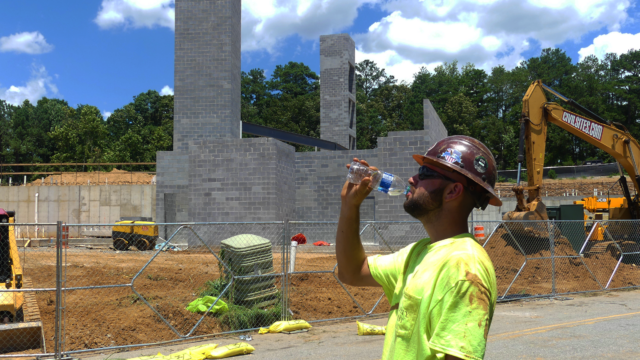
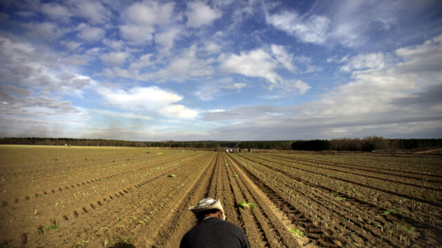
But that cooling isn’t found everywhere in the city.
For the past year, Jelks and the Watershed Alliance have been playing a central role in the Urban Heat ATL community science project. It’s an effort to collect more location-specific temperature data from different areas of the city.
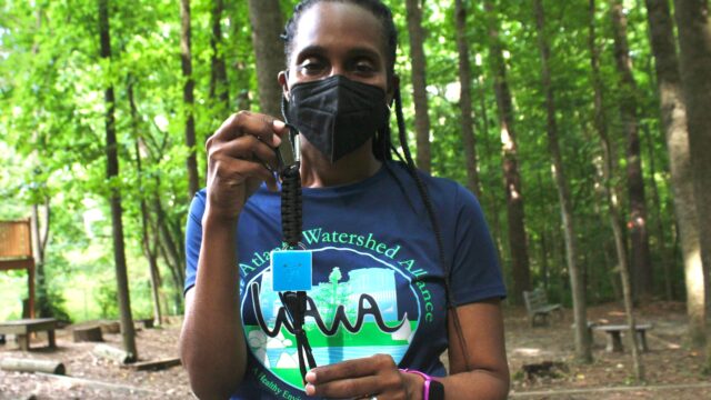
To do this, volunteers use tools that are small enough to literally fit inside your pocket.
“So this is a hand-held temperature sensor, it’s called the PocketLab and that’s the brand as well as the name of the sensor,” Jelks said. “There’s a sensor inside of this box, if you will, and then this is the thermistor, or kind of an external temperature probe. And the way this works is that you pair it with your phone, so there’s an app, a PocketLab app.”
With the push of a button, the smart phone app starts collecting data. Jelks says it’s normally recorded in Celsius.
“For the sake of easy understanding of what we’re looking at, we’ll change it to Fahrenheit,” she said. “So we don’t have to do any math conversions.”
Then, the temperature readings pop up on the screen.
“And then I can actually send this data to myself,” said Jelks. “I can e-mail it to myself and internally we have a process in which we e-mail it, load it up to a Google form and once you submit that form, the data integrates into our database.”
It is a multi-step process, but they’re trying streamline it.
“We do have a student intern at Georgia Tech who’s working on a process to kind of automate that so that even in the field you can share that data directly to the database,” said Jelks.
That data is being collected in conjunction with Georgia Tech’s Urban Climate Lab, headed by Brian Stone, a professor of environmental planning at the school.
He says the information gathered using these sensors can be valuable for planners and city officials trying to mitigate the effects of urban heat islands.
“They need to know: how many trees do we need to plant around the city to cool things off on a hot day and reduce heat illness? How many cool roofs do we need or how many green roofs do we need?” said Stone. “You can only really do that with a climate model.”
And he says the more data that scientists have, the more reliable the climate model can be.
“Ultimately, what we want to do is estimate what is the public health risk in terms of heat illness and heat mortality that is associated with different environments around cities and how can we reduce that risk,” said Stone.
Back outside, Jelks says the Urban Heat ATL project is meant to seek out more hard data to support previous findings that certain areas of Atlanta are disproportionately bearing the brunt of both pollution and climate change.
“Historically, it’s been the case that these are the areas where you might have your factories where you might have a lot of concrete, where you might have pollution-generating facilities,” said Jelks. “And so we find that communities of color oftentimes are inundated with a number of environmental hazards and stressors and extreme heat [which] is something that layers on top of other disparities.”
For her, it’s a project that’s about more than just numbers in a spreadsheet. It’s about solutions, and making sure that Atlantans, no matter where they are in the city, have a chance to live a healthy life.
This story is part of WABE’s The Heat Effect series.