This coverage is made possible through a partnership between WABE and Grist, a nonprofit environmental media organization.
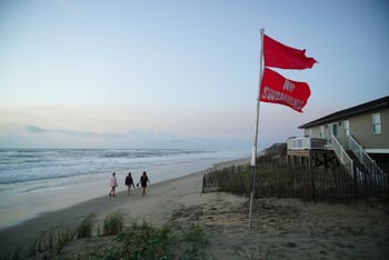
At low tide on Georgia’s Tybee Island, the beach stretches out wide as small waves break far away across the sand — you’ll have a long walk if you want to take a dip. But these conditions are perfect for a team of researchers from the University of Georgia’s Skidaway Institute of Oceanography.
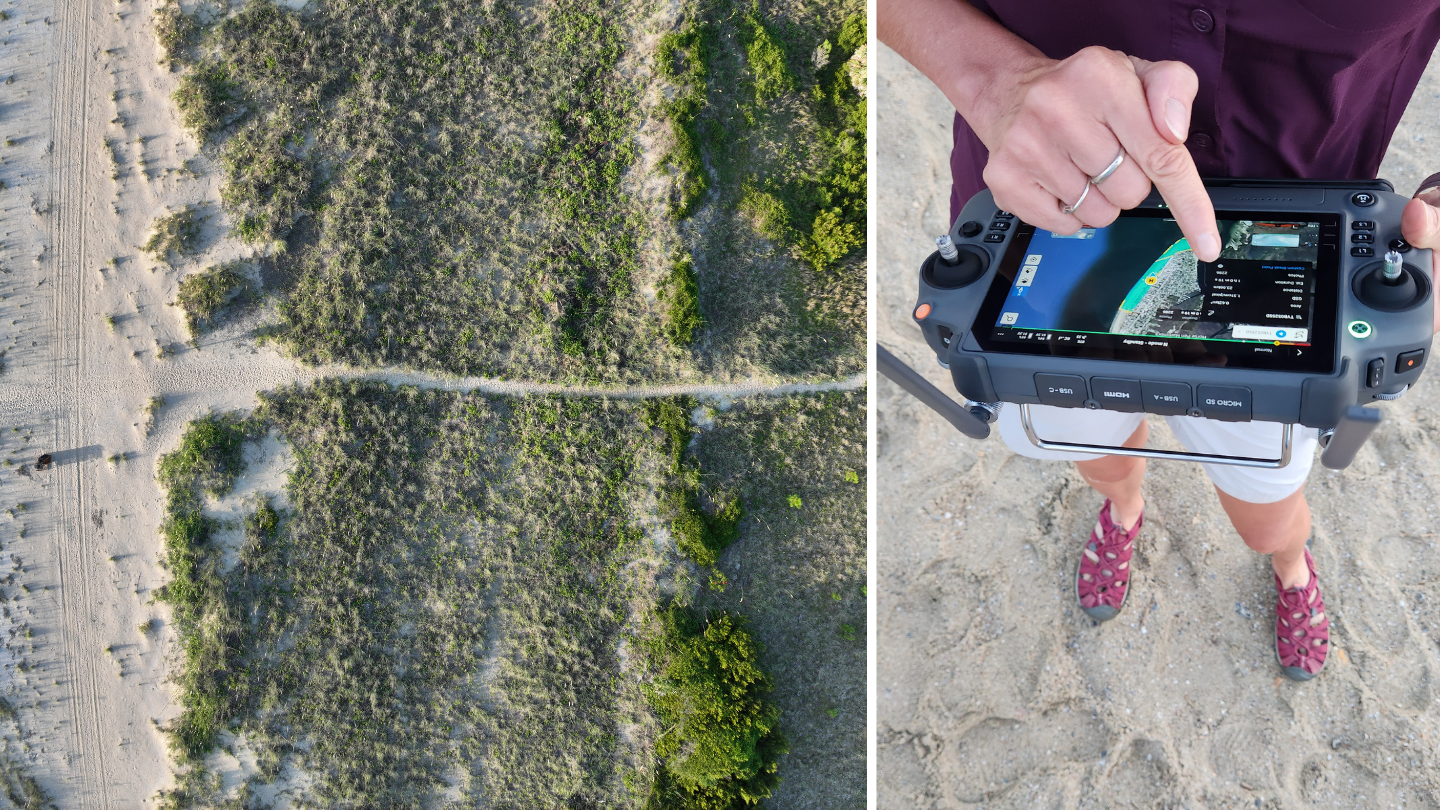
Every three months, at low tide, they set out a miniature helipad near the foot of a dune and send up their drone equipped with LiDAR — technology that points a laser down at the sand and uses it to measure the elevation of the beach and dunes. The team flies the drone back and forth from the breakers to the far side of the dunes and back until they have a complete, detailed map of the island’s seven-mile beach, about 400 acres.
Read this story now for free
To continue reading, sign up for our newsletter and get unlimited access to WABE.org
You can select your preferences for news and local content. We will never share your email address. Learn how your newsletter sign-up will support WABE and Public Media