Georgia escapes worst impacts of Hurricane Ian

Coastal Glynn County experienced some flooding Thursday as Hurricane Ian passed. (Glynn County Emergency Management and Homeland Security Agency)

This coverage is made possible through a partnership with WABE and Grist, a nonprofit, independent media organization dedicated to telling stories of climate solutions and a just future.

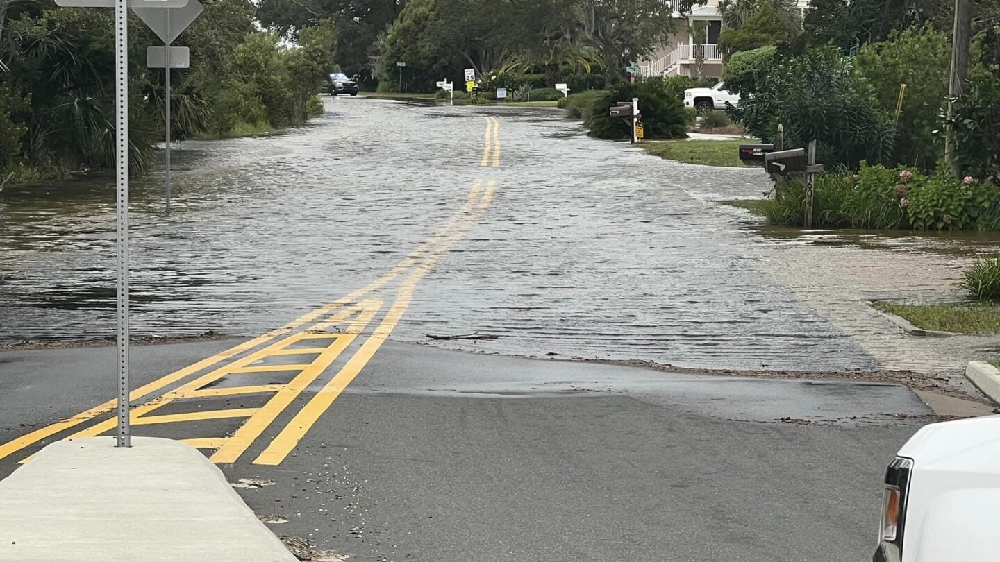
Coastal Georgia breathed a sigh of relief Friday as it became clear the state would escape the worst impacts of Hurricane Ian.

The storm passed farther offshore than forecasters predicted earlier in the week. A large cold front disrupted the factors meteorologists track, according to Savannah-based storm experts Enki Research, so the forecast changed more than it typically does as a hurricane approaches – but most of those shifts broke in Georgia’s favor.

On Friday morning, the wind direction even shifted in time to fend off the worst of the storm surge, and the midday high tide forecast dropped from upwards of 11 feet to less than nine. In the event, the Fort Pulaski tide gauge peaked at 8.9 feet, about a foot and a half above an average high tide.

The coast did experience some flooding, rain, wind and power outages. Camden and Glynn County, on the southern end of the Georgia coast, saw flooding and road closures beginning Thursday afternoon, mostly in low-lying coastal areas prone to flooding.

But, by Friday morning, Glynn County announced it was closing its emergency operations center. Tybee Island’s mayor made a similar announcement midday Friday, and a temporary Red Cross shelter in Savannah closed at noon.

“Hurricane Ian has passed by Tybee with minimal impacts,” Mayor Shirley Sessions wrote on Instagram. “Sincerest thanks to our dedicated staff for the countless hours of fortifying our infrastructure, buildings, and monitoring the storm.” 

Friday afternoon, fewer than 500 Georgia Power customers on the coast were without electricity.